These CDF links should be of interest.
http://www.fire.ca.gov/cdf_incidents/creek/incident.htm
http://www.fire.ca.gov/cdf_incidents/creek/maps.htm
Priest-Coulterville road is closed but most other roads in Groveland have reopened. See Link to Yosemite Gold's Late Breaking News
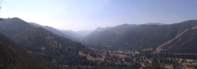
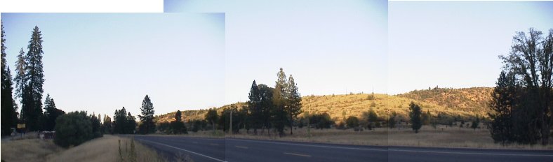
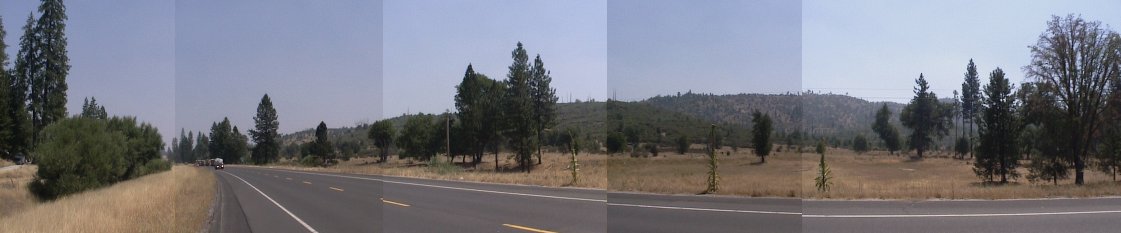
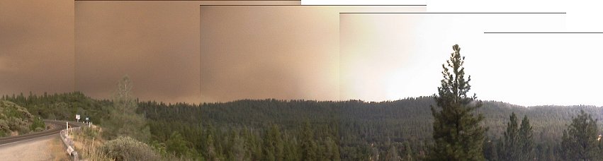
The view above is from (New) Priest Grade (Highway 120) looking South. A Helicopter is working the slope just to the right of the center. See blue arrow marked M on map below. Taken at 10:45am
![]() Link to RealVideo clip of helicopter dumping water (5.3 minutes long, 2.5 Mb, can take up to 15 minutes to download with a 28.8 modem).
Link to RealVideo clip of helicopter dumping water (5.3 minutes long, 2.5 Mb, can take up to 15 minutes to download with a 28.8 modem).
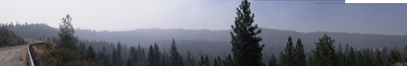
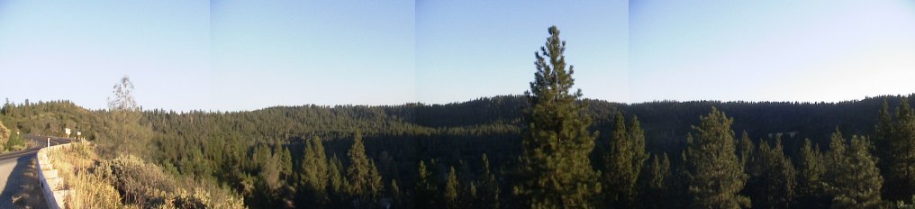
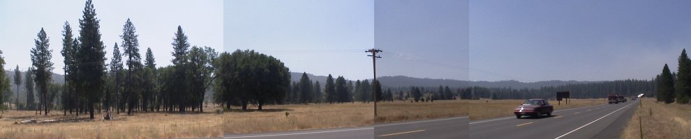
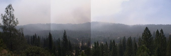
The view above is from Highway 120 near Whites Gulch Road looking South-west. Just a moderate haze everywhere. See blue arrow marked G on map below. Taken at 11:00am
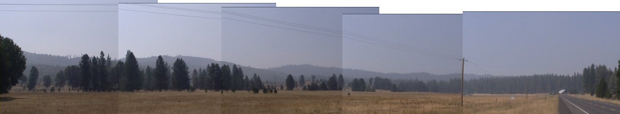
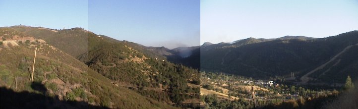
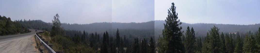
The view above is from Highway 120 and Ferretti Road looking South-west. Just a moderate haze everywhere. See blue arrow marked C2 on map below. Taken at 11:15am
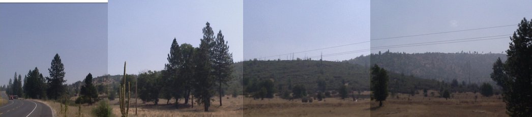
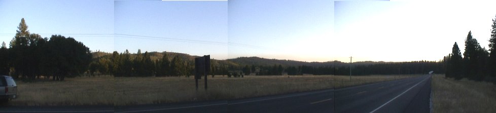
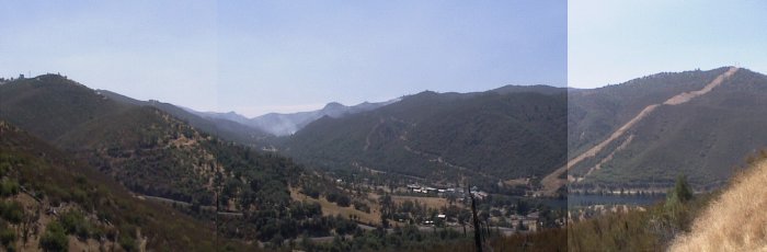
The view above is from Highway 120 and Ferretti Road next to Casa Loma looking South. There is a light haze everywhere. There are still many fire crews are stationed at Casa Loma. See blue arrow marked C1 on map below. Taken at 11:15am
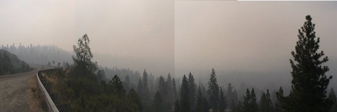
The smoke in the general area has increased. See webcam picture. The Moccasin area seems to be the source so I will try to get pictures within the next couple of hours.
(Thanks Rod for the links)
The view above is from Highway 120 and Ferretti Road next to Casa Loma looking South. There is no sign of smoke but still many fire crews are stationed at Casa Loma. See blue arrow marked C1 on map below. Taken at 7:30pm
The view above is also from Highway 120 and Ferretti Road looking South-west. Some trace of smoke is visible in the center of the picture and is most likely from the active fire area near Greeley Hill. See blue arrow marked C2 on map below. Taken at 7:30pm
The view above is from Highway 120 near Whites Gulch Road looking South-west. I noticed no sign of smoke here. See blue arrow marked G on map below. Taken at 7:15pm
The view above is from (New) Priest Grade (Highway 120) looking South. The area of fire in the center and just right of center of the picture appeared fairly active but small. See blue arrow marked M on map below. Taken at 7:00pm
All fronts seem to be quiet for now, but the fire seems to get more active in the afternoon.
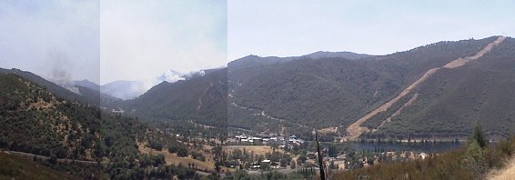
The view above is from Highway 120 and Ferretti Road next to Casa Loma looking South. This is where the most danger to the PML airport and Groveland was as night fell yesterday. Greeley Hill is over the ridge to the right of the picture. See blue arrow marked C1 on map below. Taken at 12:45pm
The view above is also from Highway 120 and Ferretti Road looking South-west. Some trace of smoke from the Jackass Ridge is visible to the right side of the picture. See blue arrow marked C2 on map below. Taken at 12:45pm
The view above is from Highway 120 near Whites Gulch Road looking South-west at 12:30pm. Some smoldering of the South side of Jackass Ridge is in the center of this picture. See blue arrow marked G on map below.
The view above is from (New) Priest Grade (Highway 120) looking South. The lines of fire are still active but are fairly quiet. See blue arrow marked M on map below. Taken at 12:15pm
Link to Yosemite Gold's Late Breaking News
The Moccasin and Jackass (traces of smoke to the right) areas of fire have remained quiet with occasional flare-ups. The South-East area in green on the map has dramatically increased in activity (dark smoke from center to left) and is heading for Greely Hill.
Link to Yosemite Gold's Late Breaking News
The Jackass Ridge area seems to be idle right now. A line of fire is active on the South-West side of the ridge and moving South-East. Moccasin has a line of fire just South of town.
See blue arrow on the map below for location of the above view.
The view above is from the new priest grade looking South.
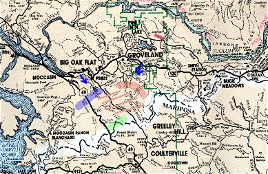
On the map to the right the blue shaded area is the moccasin area fire activity. The green shaded area is the fire activity on the South side of Jackass Ridge.
The view below is from Highway 120 just East of Groveland. Just below is the mid-section of the old Highway 120 loop looking South. The fire broached the Jackass Ridge yesterday evening. The ridge is obscured in this picture. Today is much cooler and the winds have been light so far. The wind would make for a clearer picture but would feed the fire.
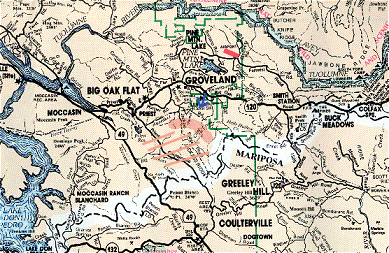
On the map the red line towards the top is the airport, the blue arrow is the location and direction of view and the pink areas are burned areas. Apparently there more areas burning, Moccasin being one of them, but I do not have any observations of any other fires.
|
Pages Created by Kirk Wallace |
Copyright © 2000-1 WALLACE COMPANY |